Could satellites one day help us solve pressing socioeconomic problems like food insecurity? What if they could directly tell farmers when to fertilise their crops? Or how much water they should use to irrigate?
It sounds like science fiction, but according to University of Hong Kong Chair Professor of Remote Sensing Shunlin Liang, it’s not as far-fetched as you might think.
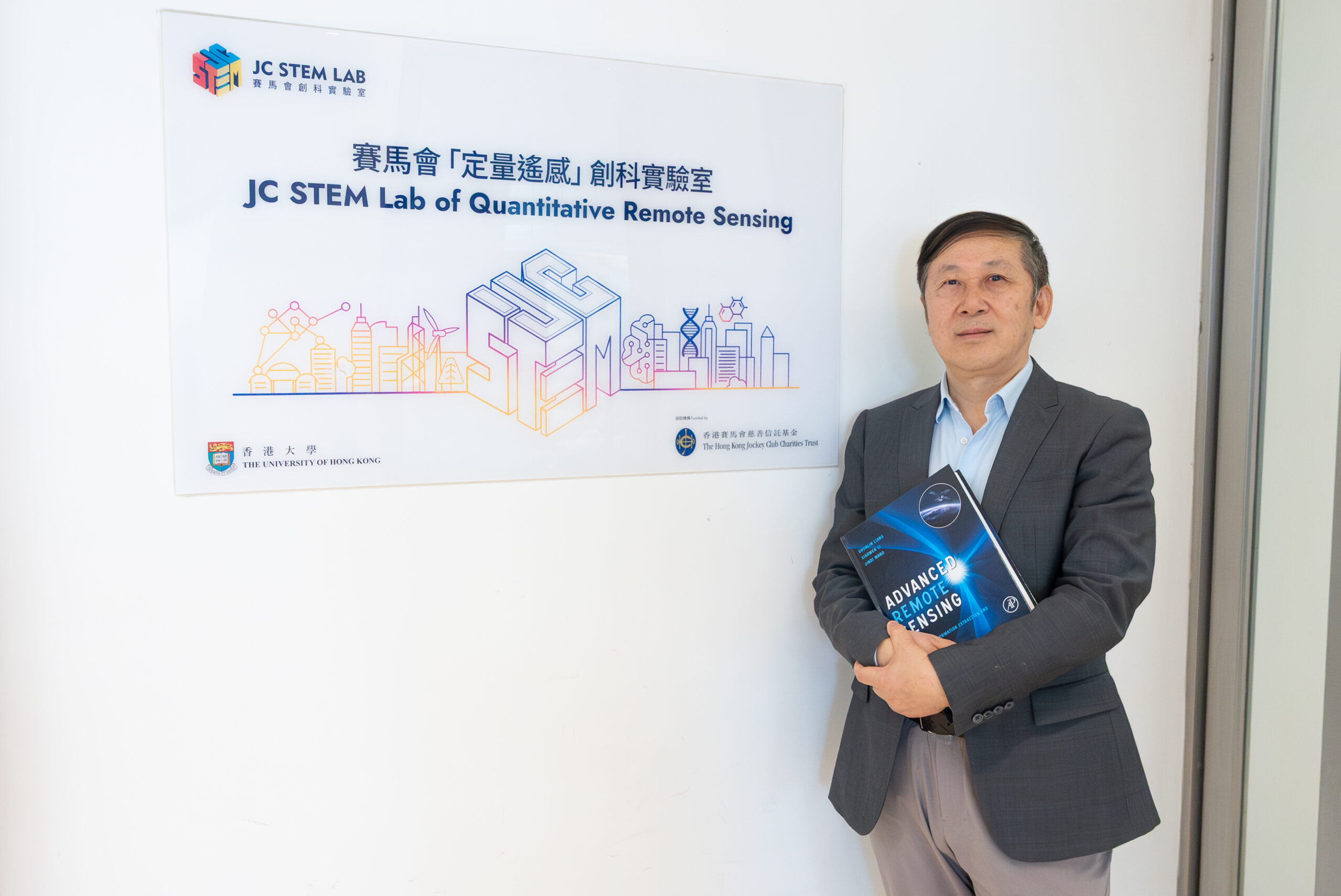
Professor Liang, who is also the Director of HKU’s Jockey Club STEM Laboratory of Quantitative Remote Sensing, has spent much of his thirty-year career trying to maximise the social benefits of remote sensing and satellite imaging technology. Now he and his team have developed AgriFM, a new artificial intelligence foundation model that could revolutionise how farmers in food-insecure regions manage their crops.
We asked him to share his thoughts on his new model, how remote sensing can improve lives around the world, and why it’s so important for researchers to have access to open-source tools.
Laying the foundation
Roughly half of the people dealing with food insecurity worldwide live in Asia. When Professor Liang saw photos of their plight, it motivated him to take action, and the result of that work is AgriFM, an open-source foundation model that offers superior crop-mapping performance over conventional deep learning methods.
While smallholder farmers generally know every inch of their land, managers on larger farms struggle to track crop growth and needs across a wide area. Remote sensing and AI technologies can help, Professor Liang says, allowing them to quickly identify when and where additional water, pesticides, or fertilisers are needed. That, in turn, will save farmers money while boosting yields.
“We need to maximise the benefits from minimal inputs.”
— Professor Shunlin Liang
That’s the short-term goal. Long term, Professor Liang says, the technology could prove even more transformative, predicting crop yields months in advance, helping governments and NGOs identify problem spots before they lead to hunger.
Open source, open access
In some ways, AgriFM is a natural continuation of Professor Liang’s decades-long interest in developing open-source tools and making satellite data more accessible.
In 2013, Professor Liang developed the open-source Global LAnd Surface Satellite (GLASS) suite, allowing researchers anywhere in the world to work with satellite data from all the leading public databases.
While organisations like NASA and ESA release satellite data to the public, they do not make it cross-compatible. That’s where GLASS comes in, making it possible to achieve much wider coverage by drawing from and unifying data from across various space agencies in one-easy-to-use package.
“In the future, foundation models mean we’ll need fewer people working on methodological problems, freeing them to focus on real-world applications.”
— Professor Shunlin Liang
More data means more potential new models like AgriFM, which Professor Liang believes could dramatically change the remote sensing field in the next five to 10 years. Already, he’s working on upgrades to GLASS like High GLASS, which offers greater resolution.
“Foundation models will change everything,” he says.
A computing challenge
That future is still some ways off, however, in large part due to data storage constraints.
Thanks to support from the Jockey Club and HKU, his team currently has 10 petabytes of data storage, but Professor Liang has set an ambitious goal of growing that to 50 petabytes in the next few years.
“Launching satellites and collecting data is expensive. I don’t want that (data) to be limited to a small community.”
— Professor Shunlin Liang
The idea is to expand the GLASS suite’s impact. To that end, he’s hoping to partner with data vendors and donors to commercialise some products while making others free for use by “millions” of people around the world.
“I want to make the data open to everyone,” Professor Liang says. “As a university professor, this is what I should do.”
Professor Liang is a global leader in remote sensing. Now he wants to use satellites to solve food insecurity. 
Professor Liang is a global leader in remote sensing. Now he wants to use satellites to solve food insecurity. 
Professor Liang is a global leader in remote sensing. Now he wants to use satellites to solve food insecurity. 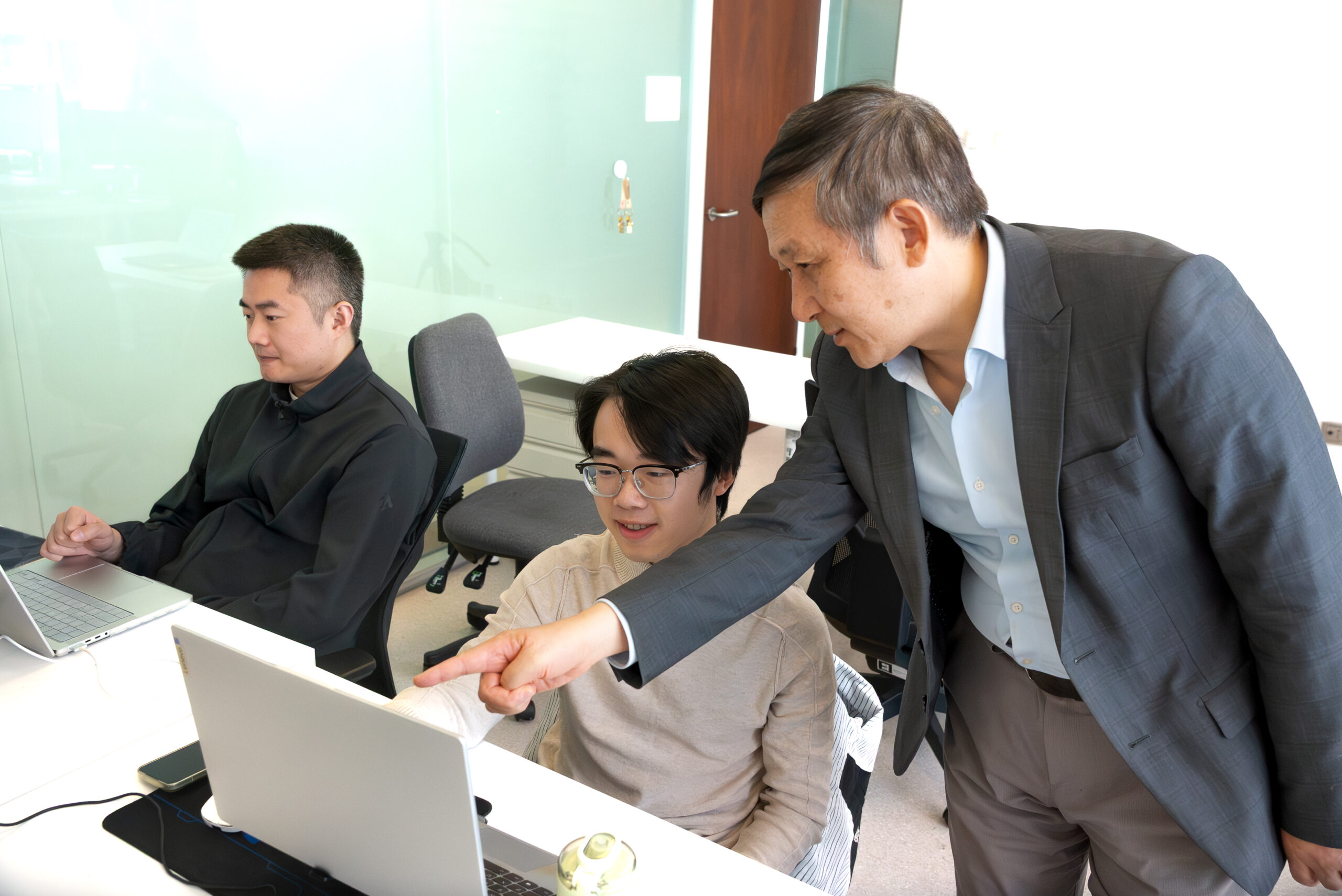
Professor Liang is a global leader in remote sensing. Now he wants to use satellites to solve food insecurity.
Leave a Reply